Ao Phang Nga National Park
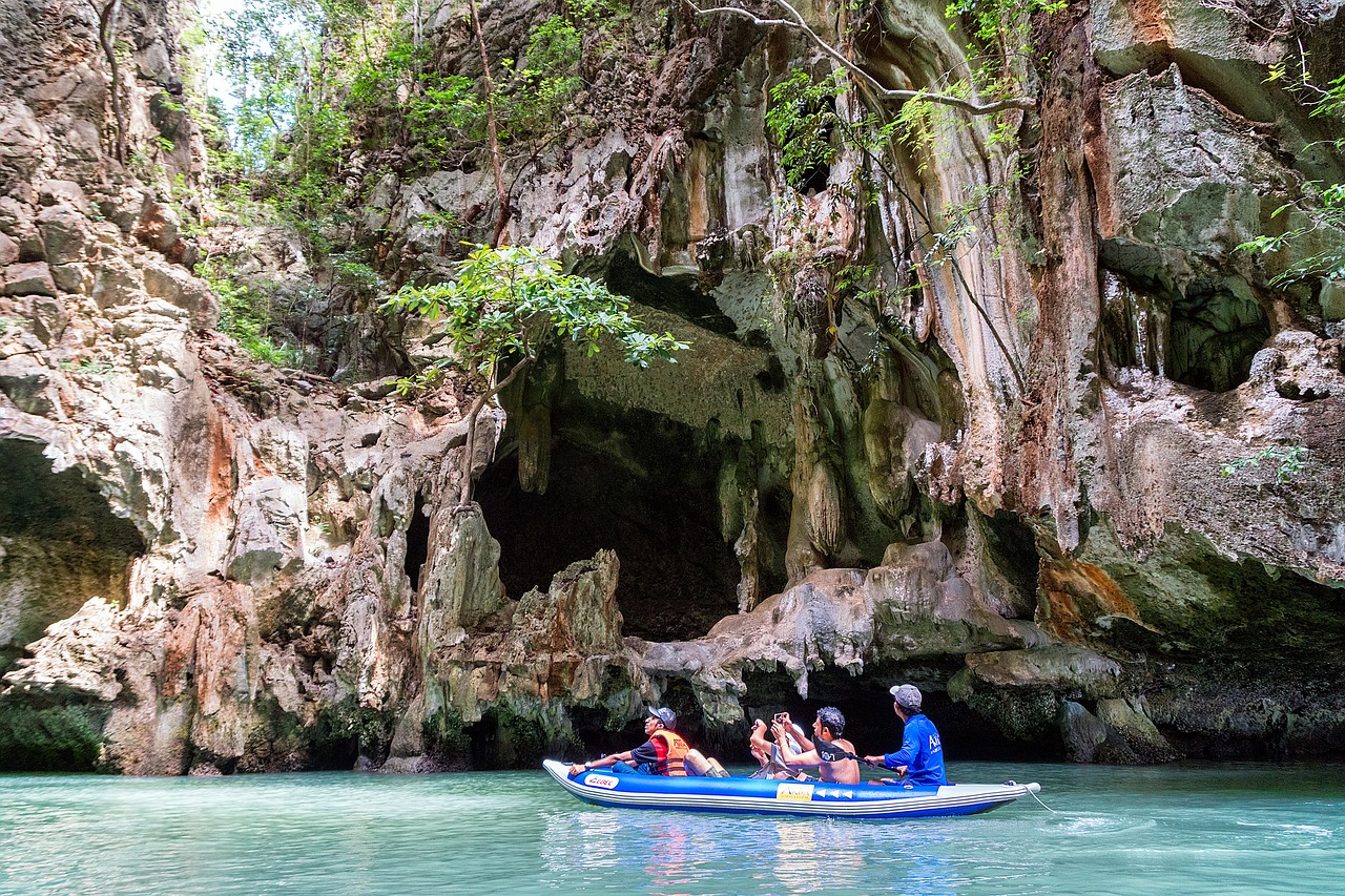
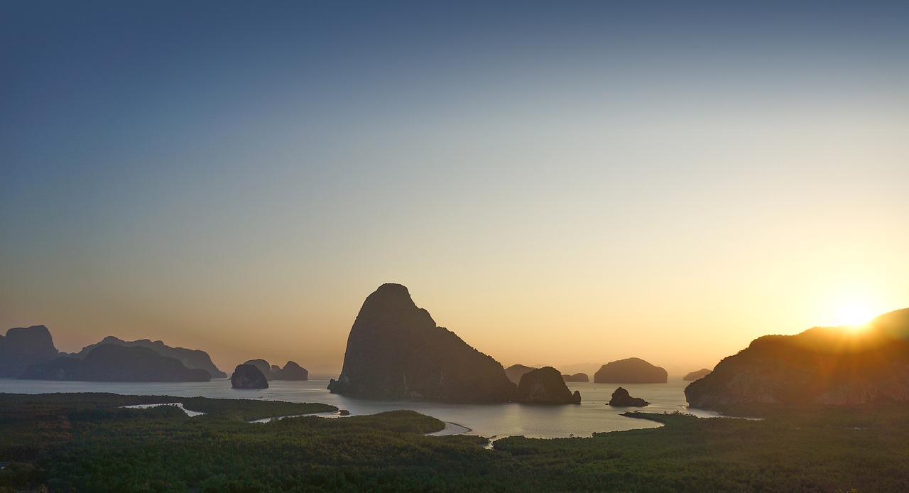
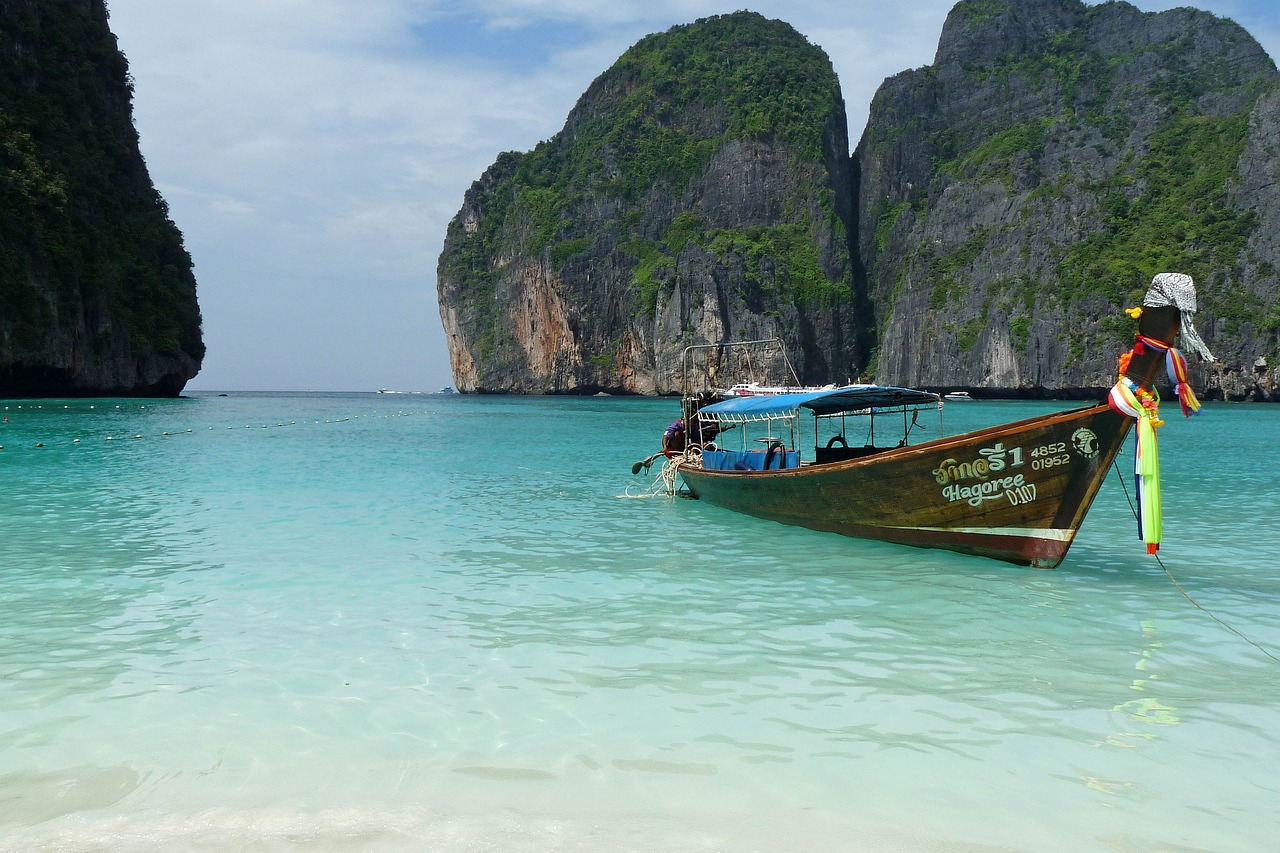
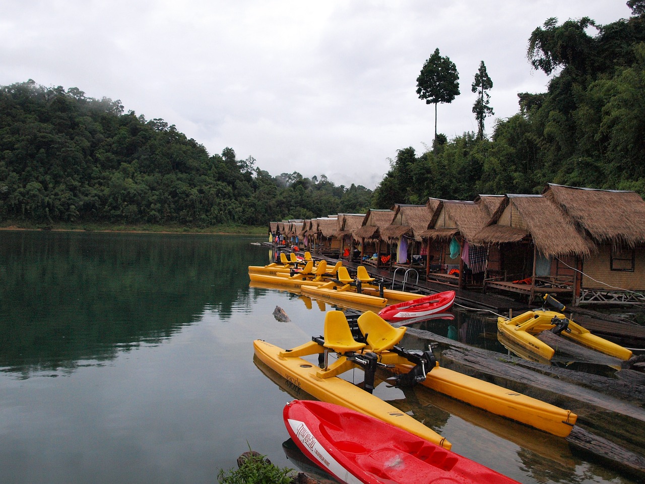
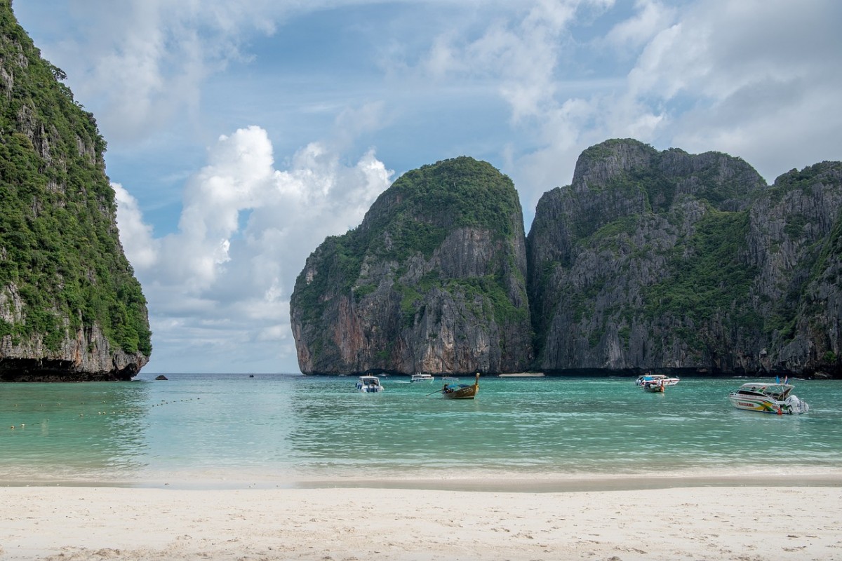
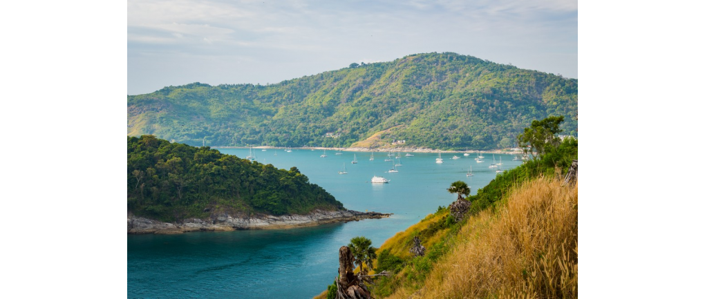
Ao Phang Nga National Park covering mangrove forests in Takua Thung District and Mueang District, Phang Nga Province, totaling more than 400 square kilometers It consists of many small and large islands with unique characteristics and different natural beauty. Tourists can take a boat to see the beauty of Khao Tapu. or known by foreigners as James Bond Island Dazzled by Khao Phing Kan Or take a boat through the cave at Koh Talu Change the atmosphere to experience nature by canoeing at Koh Hong. and visit the fishing village life at Koh Panyee where you can buy souvenirs and souvenirs to take home as well
topography
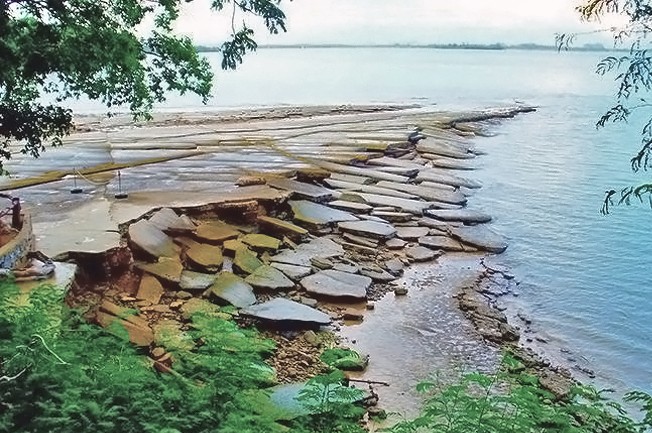
Topography of Ao Phang Nga National Park To the north, it borders the mangrove forest area in Muang Phang Nga District, to the south, the sea in Ko Yao District, Phang Nga Province and the sea in Phuket Province, in the east, it borders the sea in Krabi Province. and west Take note of the mangrove forest area. And at the local seashore in Takua Thung District, Mueang District, Phang Nga Province, is a sedimentary rock mountain. metamorphic rock There are limestone mountains inserted into patches. scattered Natural conditions that change according to the environment cause hollows, caves, the collapse of the land in the west. resulting in a rugged, indented coast, creating bays and islands create beautiful scenery Ao Phang Nga National Park Influenced by the southwest monsoon wind. The average temperature is 26 - 28 degrees Celsius. The average annual rainfall is about 3,500 mm.
climate
Climate characteristics of Ao Phang Nga National Park It depends on the southwest monsoon and the northeast monsoon. During the very heavy rains during the southwest monsoon season. since may to October From November to March, the northeast wind blows regularly. sometimes even April Usually around Phang Nga Bay will have very good visibility Except during the rainy season sea waves There are moderate to heavy waves during the southwest monsoon season. From May to October in the northeast monsoon season, the sea is quiet to a few waves. except in November There are light – medium waves, sometimes there are heavy – very heavy waves.
flora and fauna
Plants in Ao Phang Nga National Park It appeared that plant communities differed according to topography, soil and rock characteristics. Variation of the rise and fall of sea water Water currents and human activities that interfere with natural conditions can be classified into 5 types
1. Mangrove Forest
1.1. Mangrove forests on limestone hills, it was found that there are 12 important plant species in the mangrove forests, including large-leaved mangroves, small-leaved mangroves, white tabun, black tabun, red prasak, white beans, black beans, prongs, Phangka Huasum, Lamphu, Lampen, real nests, white Samae. found from which depends on the waterfront or rather muddy soil and fish gills The sea cycads are rarely found only in areas where the forest has been destroyed.
1.2 Mangrove forest in Shell and Quartzite Mountains There are 7 important plant species, namely, large-leaved mangroves, small-leaved mangroves, white tabun, red teak, white beans, black beans, and prongs. The gills of freshwater fish grow thickly along the water's edge, there are samana and rattan.
1.3 Mangrove forest in the area of Khao Hin Sai There are fewer important plants in this area. because the soil condition is too sandy In addition, the area is influenced by wind and currents as well. There are 5 important plant species found, namely, small-leaved mangroves, small-leaved mangroves, Lam Pan, Samae, Ta Boon Khao, and astringent. In areas adjacent to land forests where water salinity is relatively low
2. Terrestrial forests that are found as deciduous trees. Which is classified as a moist evergreen forest, can be divided as follows
2.1 Land forests growing on limestone hills found scattered everywhere There are 2 types of limestone mountains in Phang Nga Bay.
- forest that grows on land The area is relatively flat and the area known as Karst, which is a valley area, has important plants such as Khi Worm, Reang, Ta Khian Hin, Mahad, Si Sat, Thang Khao, Banyan, Champa Khao, Cassia, Mafai, Wild Mango, Mai Non, Samo Kann, Two Carapace, Makhampom, Chamuang, Chumsaeng, Yopa, Fig, Flax. Seng, plao, and chum-hed for the lower tiers, such as tao-raang, pandanus, lampeng, ginger, galangal, and wild bamboo. There are also grasses, palms, and various types of aloe.
- Forests that grow on relatively moist areas of limestone. Contains plants that are small and low. Except for the creek area only. with high nutrients Plants found are Ta Khian Thong, Khao Kwang, Kayee, Olive, Khao Tabak.
2.2 Forests in the area of shell rock and quartzite It was found that there were quite densely growing plants with approximately 70-90% of the canopy covering. And also found important plants such as Mangosteen, Phangka, Tonkhai wood. As for the lower plants, they found wild bamboo, broken grass.
3. Aquatic Plant Society, Ao Phang Nga National Park Most of them are water areas. Therefore, an aquatic plant society is an important component of an aquatic plant society. especially algae It depends on the tree or root of the mangrove tree or on the beach along the soil surface. May stick to rocks or shells. The algae are divided into 3 types: brown, green, red algae, and in addition, they also found plankton seagrasses, which are important to marine life in terms of food. Habitat or spawning of various aquatic animals.
- Rare plants In Ao Phang Nga National Park, there are Phang Nga yellow lady slipper orchids, which are rare. They grow on cliffs, high crevices, on limestone hills, at an altitude of 100 meters above sea level. The flowers are single flowers. flower stalks upright There is until a short cover when the flowers are in full bloom. Diameter 5 – 8 cm. with white bulbs. Will bloom around April - August and November - December. Animal species in Ao Phang Nga National Park. There are many types of animals, including aquatic animals, terrestrial animals, and birds.
Read more

 Entry fee: No entry fee
Days and hours of operation: 24 hours a day
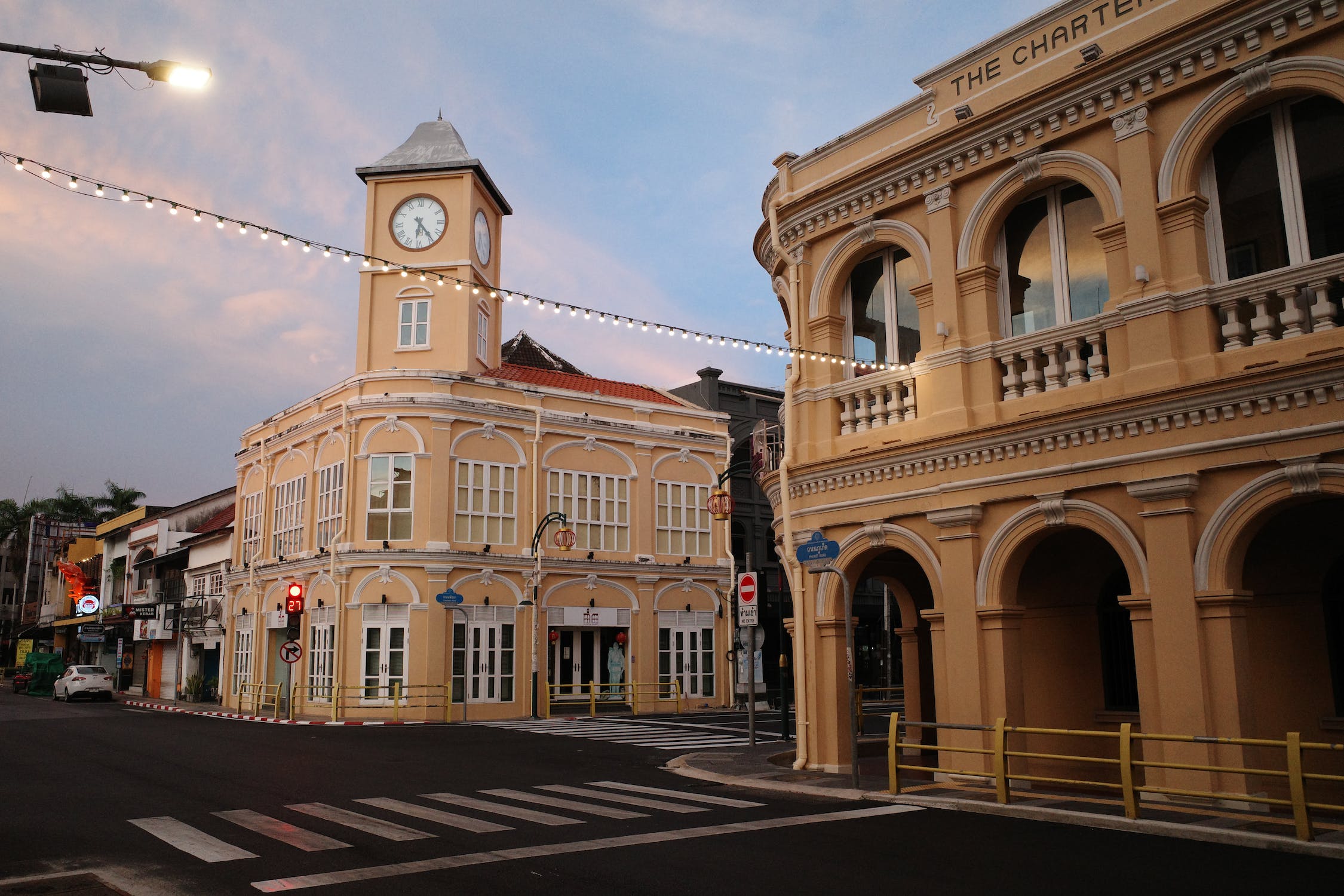
Address : Rawai, Muang District, Phuket Province
Cr : https://www.phuketcity.go.th/travel/detail/276
Entry fee: No entry fee
Days and hours of operation: 24 hours a day
Address : Rawai, Muang District, Phuket Province
Cr : https://www.phuketcity.go.th/travel/detail/276
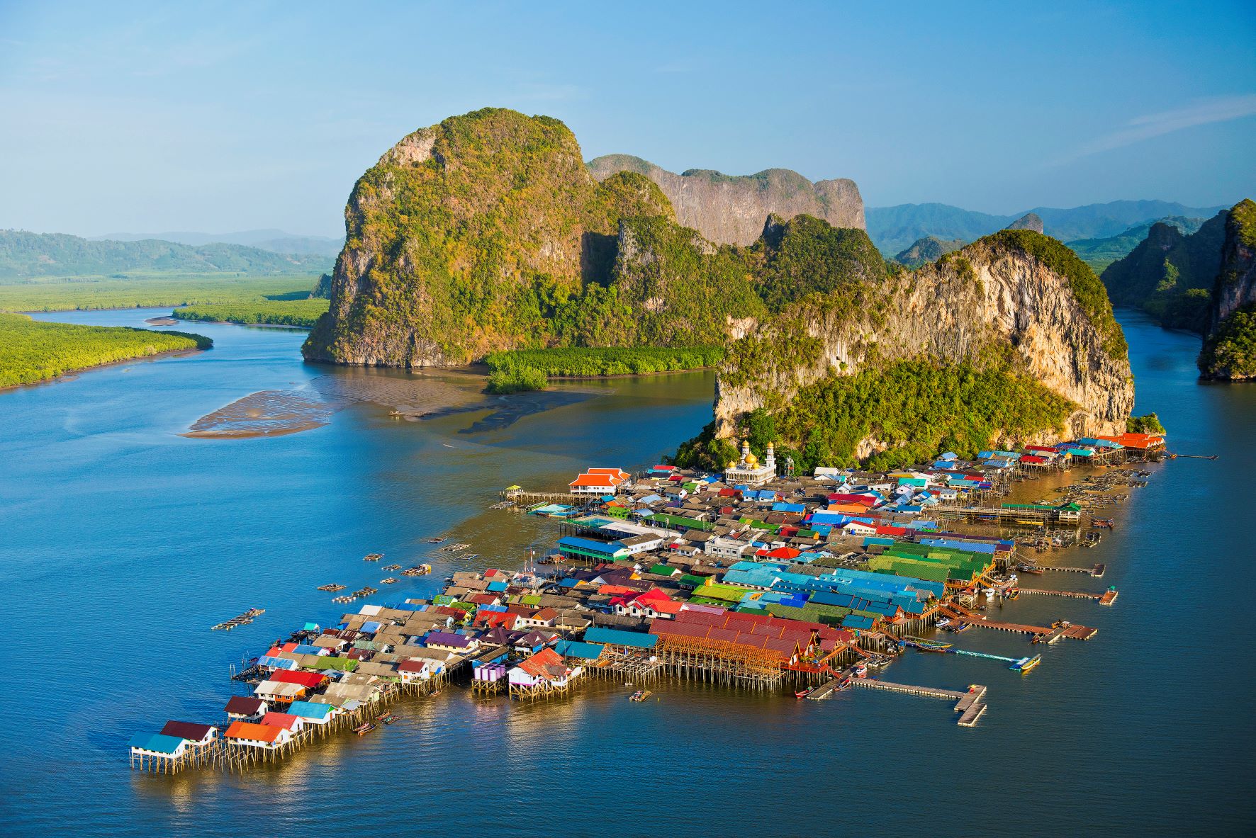
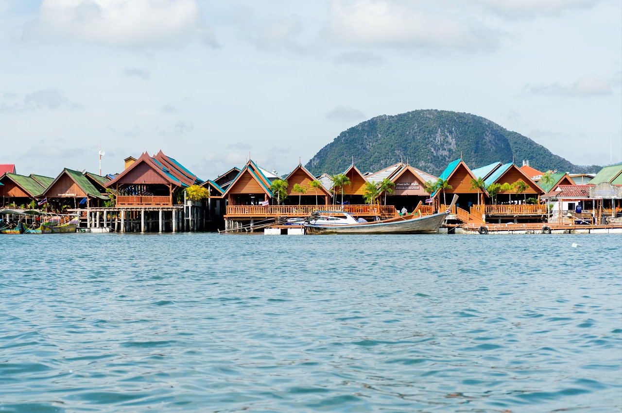 It is a limestone mountain that looks tall and wide. Can block wind waves very well There is a sandy shoal that has accumulated until the ground is flat. It is the location of 4 small villages, creating colors in the midst of nature surrounded by large and small islands in the sea and mangrove forests of Ao Phang Nga National Park. Ancestors of Koh Panyee They are 3 Javanese families who emigrated from Indonesia by 3 sailboats in the late 18th century and agreed that if they found a suitable area to plant a flag as a symbol, the word "Pulau Panji" means "flag" when settling on this island has been living in the context of Islamic culture for more than 300 years It consists of a population of about 1,400 people, most of which are almost 350 houses, one-story houses built on a high platform lined in the sea, Phang Nga Bay, in front of a limestone cliff. The area at the foot of the mountain is about 1 rai. Ko Panyee people use it as the central area of the village. It is the area of the cemetery and the location of the Darussalam Mosque. The construction is a two-storey building. The top of the dome has a distinctive golden color. The interior of the building is decorated with marble. The nature of the sea is conducive to shallow water fishing. Raising cockles raising fish in cages is the main income of the villagers But when more tourists visit causing the villagers to turn to supplementary occupations whole restaurant Hire a boat driver and sell souvenirs. Most of which are dried and processed seafood. and Koh Panyee It is also a very famous source of jewelry made from mother of pearl. Therefore generate income for the community as well during the monsoon-free period Between December and April, nearby is the location of Mount Khao. which has red paintings depicting people and aquatic animals located about 400 meters before reaching Koh Panyee, and Tham Talu which is not far apart It is an island in the middle of the water where there is a hole that can pass through. It is another tourist canoeing point in the park. How to get there: One-day tour packages can be purchased from travel agencies in Phuket. or ports in Phang Nga province such as Tha Dan Pier Mueang Phang Nga District Surakul Pier and Ban Hin Rom Pier Takua Thung District, etc.
ที่มา : https://thai.tourismthailand.org/Attraction/เกาะปันหยี
It is a limestone mountain that looks tall and wide. Can block wind waves very well There is a sandy shoal that has accumulated until the ground is flat. It is the location of 4 small villages, creating colors in the midst of nature surrounded by large and small islands in the sea and mangrove forests of Ao Phang Nga National Park. Ancestors of Koh Panyee They are 3 Javanese families who emigrated from Indonesia by 3 sailboats in the late 18th century and agreed that if they found a suitable area to plant a flag as a symbol, the word "Pulau Panji" means "flag" when settling on this island has been living in the context of Islamic culture for more than 300 years It consists of a population of about 1,400 people, most of which are almost 350 houses, one-story houses built on a high platform lined in the sea, Phang Nga Bay, in front of a limestone cliff. The area at the foot of the mountain is about 1 rai. Ko Panyee people use it as the central area of the village. It is the area of the cemetery and the location of the Darussalam Mosque. The construction is a two-storey building. The top of the dome has a distinctive golden color. The interior of the building is decorated with marble. The nature of the sea is conducive to shallow water fishing. Raising cockles raising fish in cages is the main income of the villagers But when more tourists visit causing the villagers to turn to supplementary occupations whole restaurant Hire a boat driver and sell souvenirs. Most of which are dried and processed seafood. and Koh Panyee It is also a very famous source of jewelry made from mother of pearl. Therefore generate income for the community as well during the monsoon-free period Between December and April, nearby is the location of Mount Khao. which has red paintings depicting people and aquatic animals located about 400 meters before reaching Koh Panyee, and Tham Talu which is not far apart It is an island in the middle of the water where there is a hole that can pass through. It is another tourist canoeing point in the park. How to get there: One-day tour packages can be purchased from travel agencies in Phuket. or ports in Phang Nga province such as Tha Dan Pier Mueang Phang Nga District Surakul Pier and Ban Hin Rom Pier Takua Thung District, etc.
ที่มา : https://thai.tourismthailand.org/Attraction/เกาะปันหยี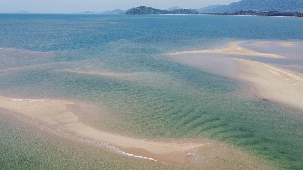
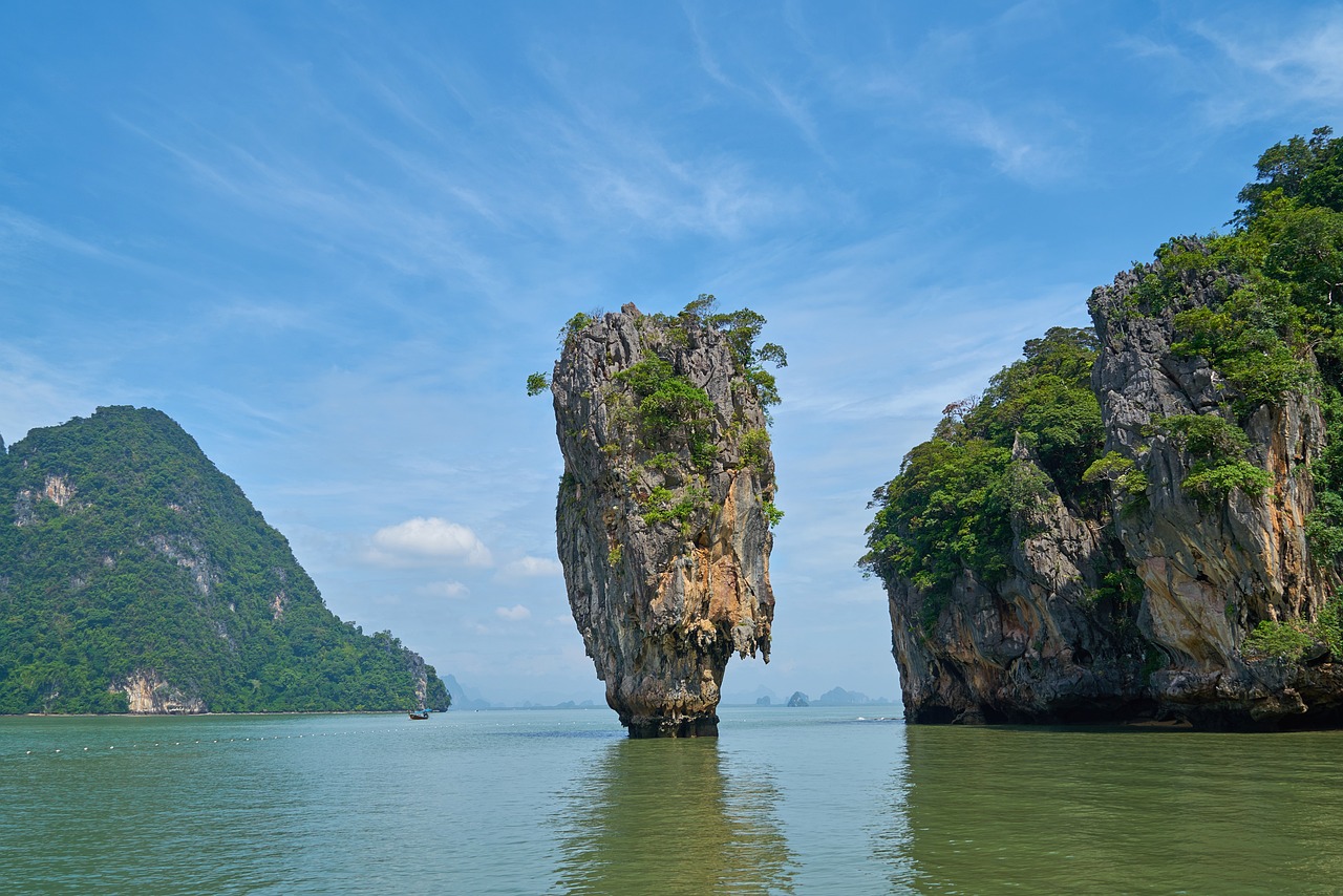
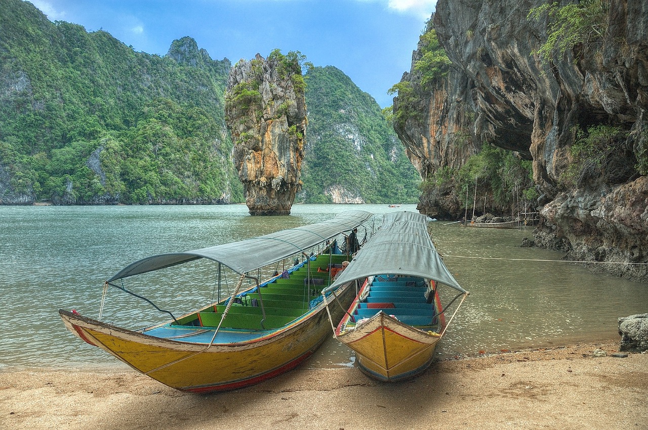 Khao Tapu is a small rock. Located on the northern side in the cove of Koh Khao Phing Kan. in the southwest of Ao Phang Nga National Park in Kalai Sub-district, Takua Thung District, Phang Nga Province, far from the park office along the canal Koh Panyee for a distance of about 15 kilometers. Koh Tapu looks like a single island. The upper part bulges out and narrows at the base like a crab's eye. (This island has a geological term called Koh Hin Doong). To see Koh Tapu, you must see it from a distance from a boat. or from the shoal of Khao Phing Kan Island Unable to go on the island
cr: https://www.phangngapao.go.th/travel/detail/128
Thank you for picture by
Khao Tapu is a small rock. Located on the northern side in the cove of Koh Khao Phing Kan. in the southwest of Ao Phang Nga National Park in Kalai Sub-district, Takua Thung District, Phang Nga Province, far from the park office along the canal Koh Panyee for a distance of about 15 kilometers. Koh Tapu looks like a single island. The upper part bulges out and narrows at the base like a crab's eye. (This island has a geological term called Koh Hin Doong). To see Koh Tapu, you must see it from a distance from a boat. or from the shoal of Khao Phing Kan Island Unable to go on the island
cr: https://www.phangngapao.go.th/travel/detail/128
Thank you for picture by